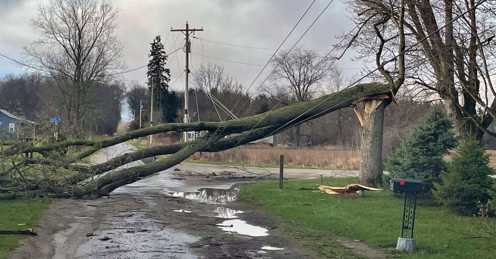
The National Weather Service (NWS) has announced confirmation of two EF-1 tornadoes in southeastern Illinois Wednesday evening.
Storm survey teams report that the first touched down at approximately 6:10 p.m. CT southeast of Altamont.
It produced peak winds of 105 mph and traveled about 3 miles with a width of 125 yards and damaged a residential roof and some trees.
The second occurred south of Montrose around 6:25 p.m. CT.
It packed peak winds estimated at 125 mph and traveled about 4 miles and was about 100 yards wide.
The twister traveled northeast and damaged some farm outbuildings and power poles before lifting near the Jasper County line.
There were no serious injuries reported.
The NWS says assessment teams are continuing to work to confirm any other tornado touchdowns in the region.
 Lawrence County arrests
 Knox County under Red Travel Warning
 Another cold weather advisory issued
 Winter storm hits region hard
 Knox County drug bust
 Winter storm warning issued for area
 Winter storm watch in effect for area
 Unit #20 Board of Education recognizes Lady Braves and heroic students
 LCMH receives federal grant funding
 Lawrence County Board approves bridge construction project
 Two arrested after traffic stop in Knox County
 Indiana State Police seeks volunteer chaplains to support trooper wellness and resilience
 St. Francisville water main break
 VU Health Sciences and Learning Center to officially open in February
 Earthquake in southern Illinois
 American Red Cross urges the public to donate blood
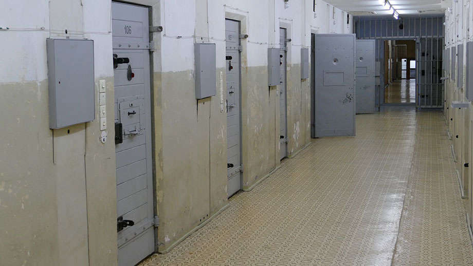 State committee approves IDOC mail rule