


The National Weather Service has issued a STRONG THUNDERSTORM WILL IMPACT MARSHALL COUNTY at about 5:15 PM.
At 427 PM EDT/327 PM CDT/, Doppler radar was tracking a strong
thunderstorm near Ora, or 9 miles northeast of Winamac, moving
northeast at 30 mph.
HAZARD...Wind gusts up to 50 mph and half inch hail.
SOURCE...Radar indicated.
IMPACT...Gusty winds could knock down tree limbs and blow around unsecured objects. Minor hail damage to vegetation is possible.
Locations impacted include...
Plymouth, Bremen, Knox, Bourbon, Argos, Culver, Walnut, Tippecanoe,
Oak Grove, Monterey, Leiters Ford, Ober, Twin Lakes, Inwood, Rutland,
Burr Oak, Maxinkuckee, Hibbard, Winona, and Delong.
PRECAUTIONARY/PREPAREDNESS ACTIONS...
If outdoors, consider seeking shelter inside a building.
 Yellow River Placed Under Flood Warning; Crest Expected Saturda
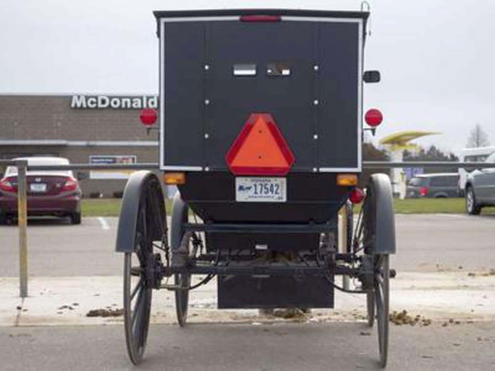 Marshall County horse-drawn vehicle licensing generates nearly $50K annually for road maintenance
 Plymouth Police arrest two in separate Wednesday evening traffic stops
 Gather 2 Graze Charcuterie brings back Adult Easter Egg Hunt to downtown Plymouth
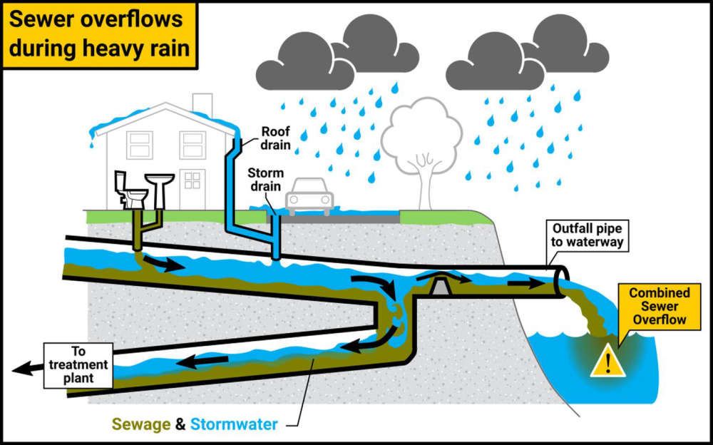 Heavy rains trigger Combined Sewer Overflow Warning for Plymouth's Yellow River
 First Lady Braun announces Indiana achieves statewide access to Dolly Parton’s Imagination Library
 NIPSCO marks National Safe Digging Month, reminds Hoosiers to call 811 before spring projects
 Gov. Braun takes action to protect Hoosier kids online