The National Weather Service has issued a STRONG THUNDERSTORM WILL IMPACT MARSHALL COUNTY at about 5:15 PM.
At 427 PM EDT/327 PM CDT/, Doppler radar was tracking a strong
thunderstorm near Ora, or 9 miles northeast of Winamac, moving
northeast at 30 mph.
HAZARD...Wind gusts up to 50 mph and half inch hail.
SOURCE...Radar indicated.
IMPACT...Gusty winds could knock down tree limbs and blow around unsecured objects. Minor hail damage to vegetation is possible.
Locations impacted include...
Plymouth, Bremen, Knox, Bourbon, Argos, Culver, Walnut, Tippecanoe,
Oak Grove, Monterey, Leiters Ford, Ober, Twin Lakes, Inwood, Rutland,
Burr Oak, Maxinkuckee, Hibbard, Winona, and Delong.
PRECAUTIONARY/PREPAREDNESS ACTIONS...
If outdoors, consider seeking shelter inside a building.
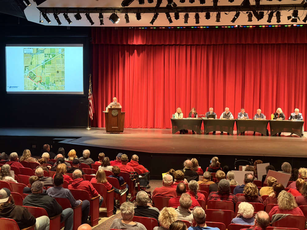 Shelbyville Common Council approves annexation, rezoning of land for proposed data center campus
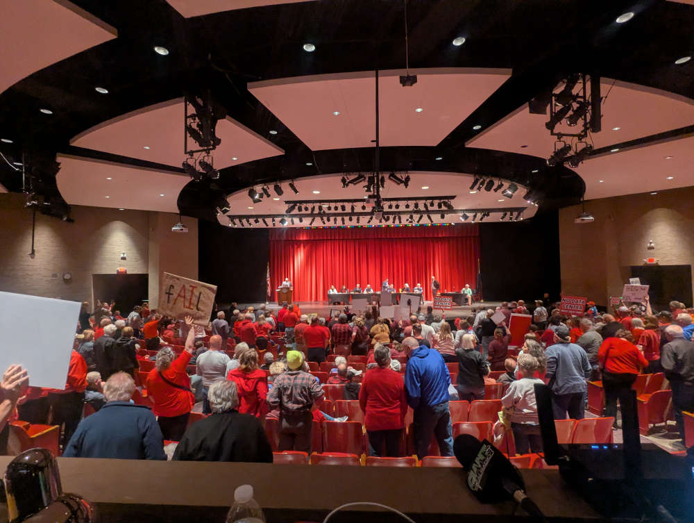 Audio: Shelbyville Common Council meeting (originally aired April 6, 2026)
 Drivers flown for medical treatment from Decatur County crash
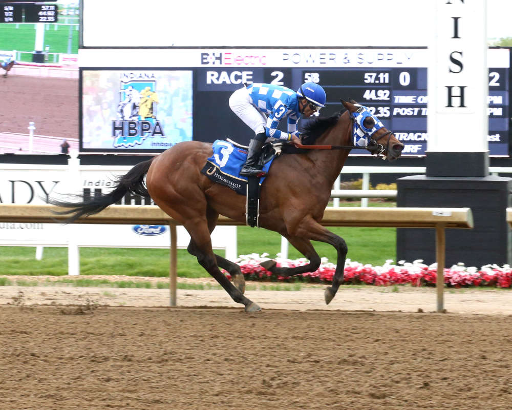 Nine races featured on season opener at Horseshoe Indianapolis
 Indiana AG warns of human trafficking during Final Four
 Shelby County Traffic Safety Partnership to increase patrols to target distracted driving and speeding