


A strong and severe storm system rolled through Lawrence, Knox and other surrounding counties Wednesday evening and night.
It spawned numerous tornado and thunderstorm watches and warnings and downed trees and power lines with other widespread damage.
There were no initial reports of serious injuries.
Damage assessments are currently underway.
The National Weather Service (NWS) is continuing the Flood Watch for the region through Sunday, April 6th.
Additional rainfall in excess of 4 inches is likely through the period for multiple rounds of showers and thunderstorms.
Excessive runoff could result in the flooding of local and area rivers, creeks and streams.
Those residing in areas prone to flooding should monitor the latest weather conditions and be prepared to take action should flooding occur.
 Winter storm watch in effect for area
 Unit #20 Board of Education recognizes Lady Braves and heroic students
 LCMH receives federal grant funding
 Lawrence County Board approves bridge construction project
 Two arrested after traffic stop in Knox County
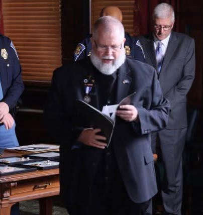 Indiana State Police seeks volunteer chaplains to support trooper wellness and resilience
 St. Francisville water main break
 VU Health Sciences and Learning Center to officially open in February
 Earthquake in southern Illinois
 American Red Cross urges the public to donate blood
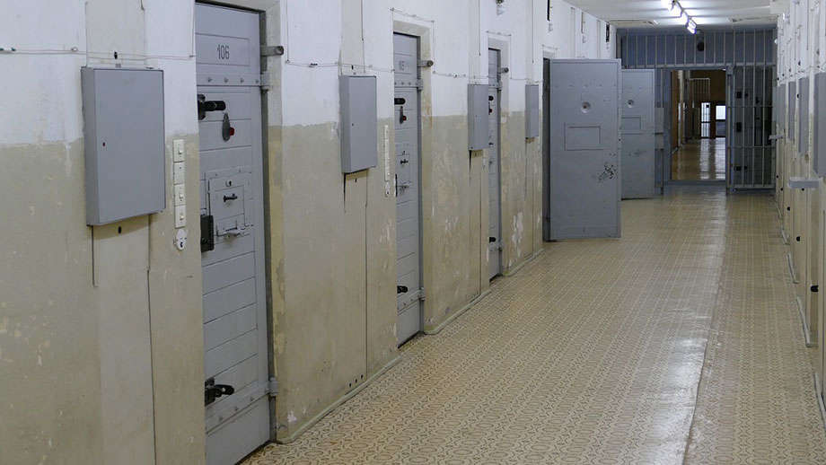 State committee approves IDOC mail rule
 Information sought in Lawrence County man's death
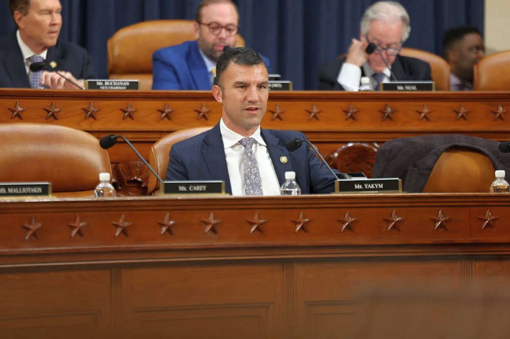 U.S. Rep. Yakym’s bipartisan BARCODE Efficiency Act Advances
 Thacker joins IHA Board of Directors
 St Francisville City Council moves on water tower project
 Miss Lawrence County heads to Springfield
 New hanger planned at Mid-American Air Center