


A strong and severe storm system rolled through Lawrence, Knox and other surrounding counties Wednesday evening and night.
It spawned numerous tornado and thunderstorm watches and warnings and downed trees and power lines with other widespread damage.
There were no initial reports of serious injuries.
Damage assessments are currently underway.
The National Weather Service (NWS) is continuing the Flood Watch for the region through Sunday, April 6th.
Additional rainfall in excess of 4 inches is likely through the period for multiple rounds of showers and thunderstorms.
Excessive runoff could result in the flooding of local and area rivers, creeks and streams.
Those residing in areas prone to flooding should monitor the latest weather conditions and be prepared to take action should flooding occur.
 Plymouth weekend traffic enforcement leads to multiple arrests for licensing violations
 Marshall County Purdue Extension to host ServSafe Manager and ServSafe Food Handler Trainings
 Legends of Rock brings high-energy 80s rock tribute to the REES Theatre
 U.S. home heating fires peak during winter months
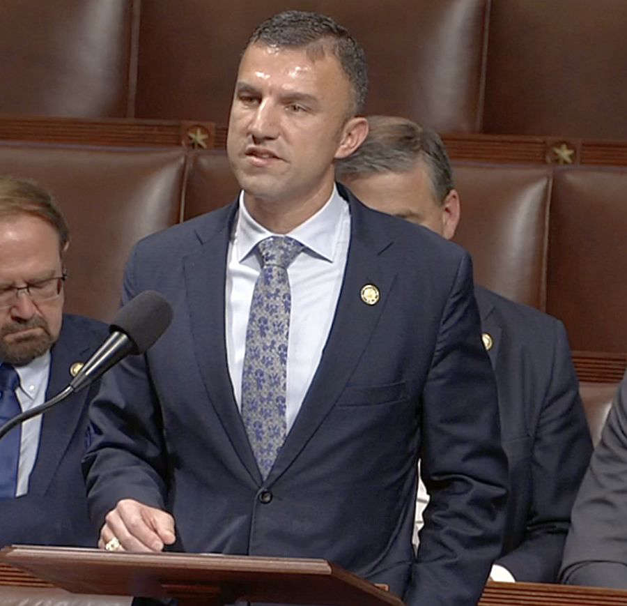 U.S. Rep. Yakym celebrates March for Life Week, votes for pro-life legislation
 Boil Order in Bourbon
 COLD WEATHER ADVISORY REMAINS IN EFFECT UNTIL 10 AM TUESDAY
 BMV Branches Closed Due to Extreme Weather Conditions