

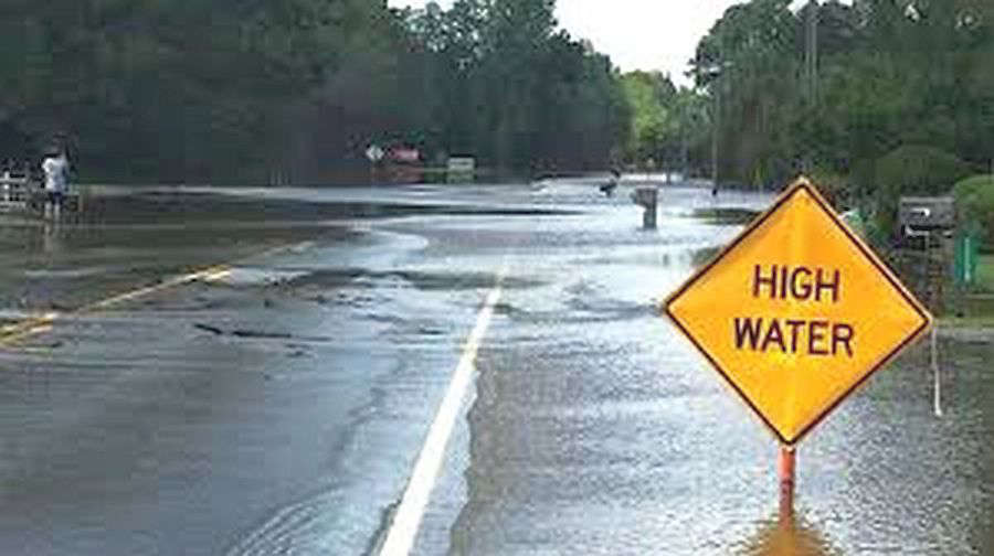
The National Weather Service (NWS) reports that a severe weather system rumbled through southeastern Illinois and southwestern Indiana Monday night with strong winds, hail, and heavy rainfall resulting in severe thunderstorm and tornado watches and warnings.
Warning sirens sounded off in Lawrenceville around 9:25 p.m. CT as the storms moved in from the west-southwest. Tornado warnings were issued for areas of southwestern, southern and southeastern Lawrence County. Most of the damage done was wind-related with downed trees blocking roadways and the heavy rains caused several streets and roads to flood. Scattered thundershowers are forecast for Tuesday evening, but severe weather is not likely, but additional rainfall up to over a half of an inch is possible.
The Embarras River is under a Flood Warning from Tuesday, April 28th through Monday May 4th due to 3 to 5 inches of rainfall that fell over portions of the lower river basin on Monday. It is rising and expected to reach above it's 30-foot flood stage Tuesday afternoon.
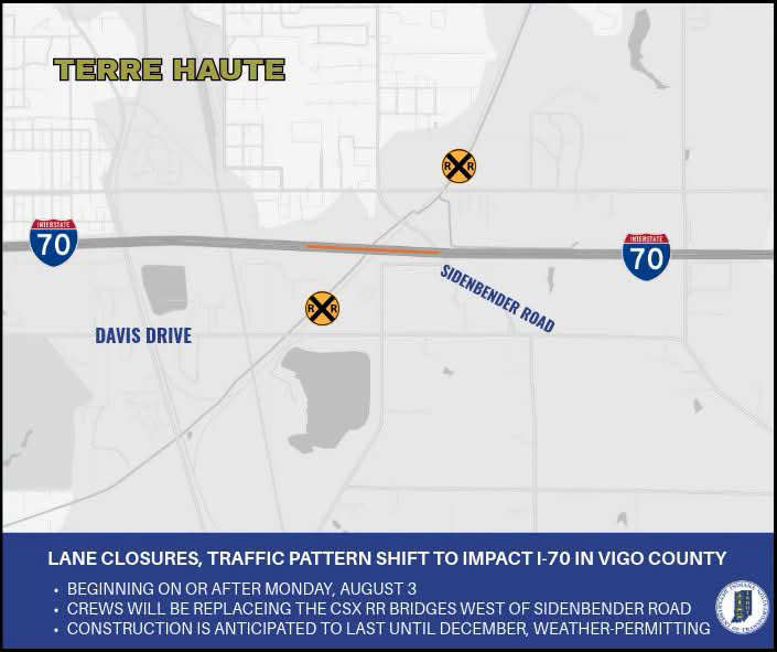 Lane closures, traffic pattern shift to impact I-70 in both directions in Vigo County
 Lilly Endowment Scholarship available thru PCCF on Saturday
 Take a ride in aviation history in Terre Haute this weekend
 Blood drive in Greencastle August 4 as Red Cross declares national crisis
 FSSA to text HIP members about HIP work requirements
 Deadline is Wednesday for Indiana reserved hunt applications
 Concerts, cancellations announced for Indiana State Fair performances
 Six nabbed in Brazil robbery, attempted kidnapping