

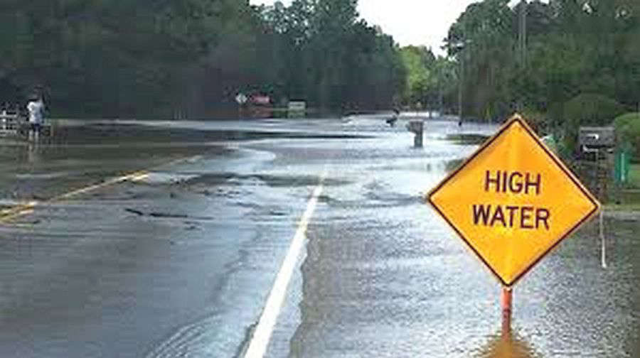
The National Weather Service (NWS) reports that a severe weather system rumbled through southeastern Illinois and southwestern Indiana Monday night with strong winds, hail, and heavy rainfall resulting in severe thunderstorm and tornado watches and warnings.
Warning sirens sounded off in Lawrenceville around 9:25 p.m. CT as the storms moved in from the west-southwest. Tornado warnings were issued for areas of southwestern, southern and southeastern Lawrence County. Most of the damage done was wind-related with downed trees blocking roadways and the heavy rains caused several streets and roads to flood. Scattered thundershowers are forecast for Tuesday evening, but severe weather is not likely, but additional rainfall up to over a half of an inch is possible.
The Embarras River is under a Flood Warning from Tuesday, April 28th through Monday May 4th due to 3 to 5 inches of rainfall that fell over portions of the lower river basin on Monday. It is rising and expected to reach above it's 30-foot flood stage Tuesday afternoon.
 Rushville's Booker T. Washington School receives restoration and rehab grant
 Two lions reported to be roaming thru Madison, Hancock counties
 Column: Goodbye America
 Meta to pay up to $419M to Indiana, implement sweeping child-safety reforms on Instagram and Facebook
 Indiana Pork and Indiana Beef donate State Fair food to support flood-ravaged communities
 IDEM reminds residents to sort and safely dispose of flood debris
 Rush, Hancock, Decatur counties among those President Donald J. Trump approves for major disaster declaration