


The Illinois State Water Survey is partnering with the Federal Emergency Management Agency (FEMA) to examine the flood risk along five creeks in Lawrence County.
They are Brushy Creek, Muddy Creek, Shirley Creek, Indian Creek and the Indian Creek tributary.
Survey crews will be operating along those creeks beginning this month of May and continuing throughout the summer. The surveyors will be getting channel and bridge measurements along with topographic elevations and photographs within and around the creek banks to be used in computer models estimating the potential flooding threat.
The study will also be used to improve and update the Flood Insurance Rate Maps (FIRM) for Lawrence County. No property disruptions are anticipated.
 FSSA To survey SNAP recipients about Smart SNAP
 IDEM forecasts statewide Air Quality Action Day for Thursday
 Ivy Tech Kokomo’s Penny Zellers honored with Hoosier Educator Award
 Nominations open for 2026 Golden Hoosier Award
 Governor Braun extends gas tax savings again
 Indiana State Fair announces first wave of Hoosier Lottery Free Stage concerts for 2026
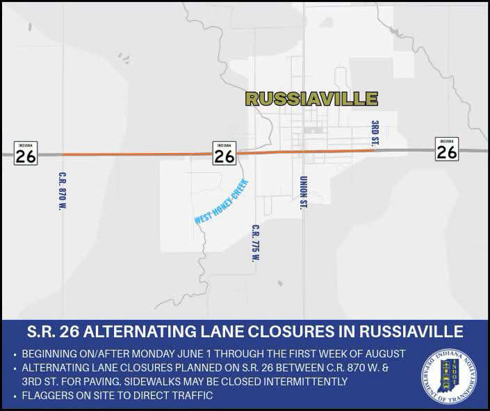 Alternating lane closures planned on State Road 26 in Russiaville
 Death investigation involving a child in Miami County

