


The Illinois State Water Survey is partnering with the Federal Emergency Management Agency (FEMA) to examine the flood risk along five creeks in Lawrence County.
They are Brushy Creek, Muddy Creek, Shirley Creek, Indian Creek and the Indian Creek tributary.
Survey crews will be operating along those creeks beginning this month of May and continuing throughout the summer. The surveyors will be getting channel and bridge measurements along with topographic elevations and photographs within and around the creek banks to be used in computer models estimating the potential flooding threat.
The study will also be used to improve and update the Flood Insurance Rate Maps (FIRM) for Lawrence County. No property disruptions are anticipated.
 Plymouth Redevelopment Commission holds annual TIF Review
 City Board of Public Works & Safety to conduct executive session and special session on Tuesday
 Plymouth City meetings Tonight: Board of Works and Common Council to tackle key votes
 State deploys emergency aid resources as Hoosiers recover from severe storms and flooding
 Marshall County ramps up impaired driving enforcement ahead of Labor Day
 REES Theatre seeks volunteers for Blueberry Festival Half Pot Raffle
 Gov. Braun unveils Freedom 250 Road Signs for major highways in the Crossroads of America
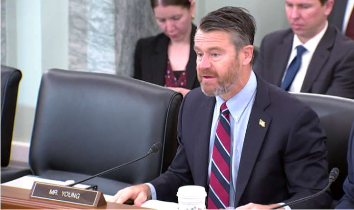 Indiana Delegation sends letter to President Trump supporting major Disaster Declaration to address August Storms