


The Illinois State Water Survey is partnering with the Federal Emergency Management Agency (FEMA) to examine the flood risk along five creeks in Lawrence County.
They are Brushy Creek, Muddy Creek, Shirley Creek, Indian Creek and the Indian Creek tributary.
Survey crews will be operating along those creeks beginning this month of May and continuing throughout the summer. The surveyors will be getting channel and bridge measurements along with topographic elevations and photographs within and around the creek banks to be used in computer models estimating the potential flooding threat.
The study will also be used to improve and update the Flood Insurance Rate Maps (FIRM) for Lawrence County. No property disruptions are anticipated.
 Vermillion County receives grant to aid home repairs, upgrades
 North Central Parke Schools ready to embark on PH Connect
 Greencastle Police ask public's help searching for man missing since 2024
 Grade realignment shelved for now at North Central Parke
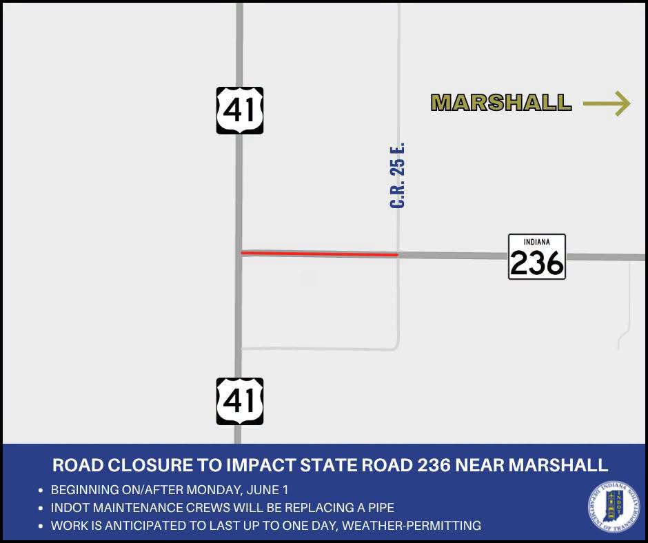 Road closure to impact State Road 236 near Marshall
 Construction to close portion of Vermillion County road
 Parke County traffic stop nets drugs, arrests
 Sheriff Frazier reflects on law enforcement tenure
 Indiana State Fair holds job fair on June 4
 Parke Heritage celebrates the naming of Jerry and Keith Newlin Field
 Ramp closures announced for driving home from Indy 500
 Fundraiser underway to expand Dana's Ernie Pyle World War II Museum.
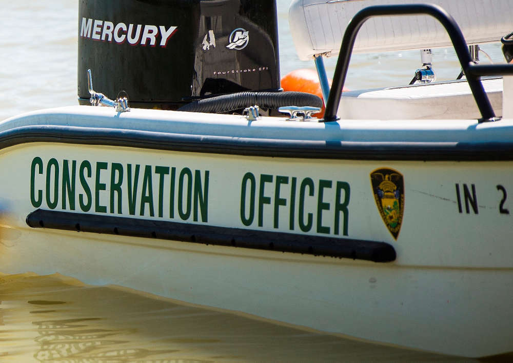 Make water safety a priority