

News
The National Weather Service has issued a STRONG THUNDERSTORM WILL IMPACT MARSHALL COUNTY
at about 5:15 PM.
At 427 PM EDT/327 PM CDT/, Doppler radar was tracking a strong
thunderstorm near Ora, or 9 miles northeast of Winamac, moving
northeast at 30 mph.
HAZARD...Wind gusts up to 50 mph and half inch hail.
SOURCE...Radar indicated.
IMPACT...Gusty winds could knock down tree limbs and blow around
unsecured objects. Minor hail damage to vegetation is
possible.
Locations impacted include...
Plymouth, Bremen, Knox, Bourbon, Argos, Culver, Walnut, Tippecanoe,
Oak Grove, Monterey, Leiters Ford, Ober, Twin Lakes, Inwood, Rutland,
Burr Oak, Maxinkuckee, Hibbard, Winona, and Delong.
PRECAUTIONARY/PREPAREDNESS ACTIONS...
If outdoors, consider seeking shelter inside a building.
 Environmental Rules Board & IDEM act to lift fuel restrictions, reduce red tape for Indiana fire departments
 Low-interest loans available for businesses, residents impacted by June 2026 severe weather
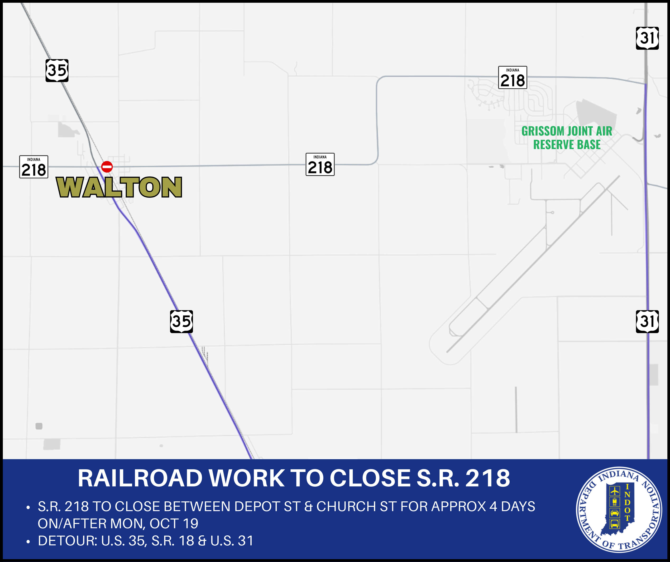 State Road 218 to close in Walton for railroad work
 Stay alert and share the road with farm equipment this fall
 Ivy Tech sets new record for completions