

News
The National Weather Service has issued a STRONG THUNDERSTORM WILL IMPACT MARSHALL COUNTY
at about 5:15 PM.
At 427 PM EDT/327 PM CDT/, Doppler radar was tracking a strong
thunderstorm near Ora, or 9 miles northeast of Winamac, moving
northeast at 30 mph.
HAZARD...Wind gusts up to 50 mph and half inch hail.
SOURCE...Radar indicated.
IMPACT...Gusty winds could knock down tree limbs and blow around
unsecured objects. Minor hail damage to vegetation is
possible.
Locations impacted include...
Plymouth, Bremen, Knox, Bourbon, Argos, Culver, Walnut, Tippecanoe,
Oak Grove, Monterey, Leiters Ford, Ober, Twin Lakes, Inwood, Rutland,
Burr Oak, Maxinkuckee, Hibbard, Winona, and Delong.
PRECAUTIONARY/PREPAREDNESS ACTIONS...
If outdoors, consider seeking shelter inside a building.
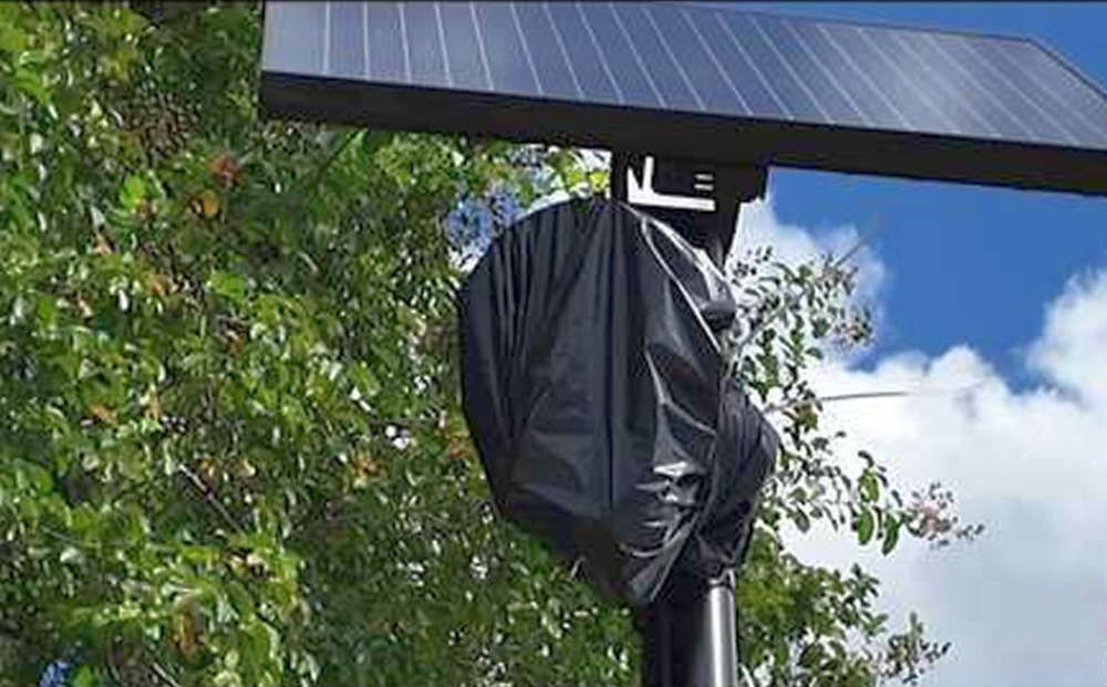 Commisioners vote to "bag & tag" county's 6 Flock cameras, keep contract in place
 Triton Superintendent praises academics
 Marshall County Fair Association to host fish fry and chicken strip fundraiser Friday
 "The Pride of the Yankees" hits the big screen at The REES October 14th
 Special Olympics Indiana – Marshall & Starke Counties head to State Tournament for fall season finale
 Indiana Gov. Braun advances workforce preparation for incarcerated Hoosiers
 Secretary Rollins release statement on President Trump dyed-diesel EO signing
 Marshall County Board of Finance opens banking proposals from 5 financial institutions