

News
The National Weather Service has issued a STRONG THUNDERSTORM WILL IMPACT MARSHALL COUNTY
at about 5:15 PM.
At 427 PM EDT/327 PM CDT/, Doppler radar was tracking a strong
thunderstorm near Ora, or 9 miles northeast of Winamac, moving
northeast at 30 mph.
HAZARD...Wind gusts up to 50 mph and half inch hail.
SOURCE...Radar indicated.
IMPACT...Gusty winds could knock down tree limbs and blow around
unsecured objects. Minor hail damage to vegetation is
possible.
Locations impacted include...
Plymouth, Bremen, Knox, Bourbon, Argos, Culver, Walnut, Tippecanoe,
Oak Grove, Monterey, Leiters Ford, Ober, Twin Lakes, Inwood, Rutland,
Burr Oak, Maxinkuckee, Hibbard, Winona, and Delong.
PRECAUTIONARY/PREPAREDNESS ACTIONS...
If outdoors, consider seeking shelter inside a building.
 NTSB issues final report on train derailment in Edwards County
 Red Hill Unit #10 seeking funding for BGS improvements
 Lawrence and Richland County burn ban rescinded
 Environmental Rules Board & IDEM act to lift fuel restrictions, reduce red tape for Indiana fire departments
 Low-interest loans available for businesses, residents impacted by June 2026 severe weather
 Cannonball Inn in St. Francisville under new ownership
 New hanger project ready to begin soon at Mid-American Air Center
 Bridgeport deals with water system matters
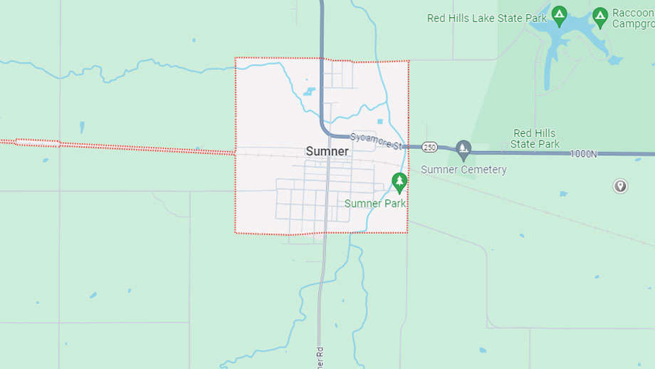 Sumner moving forward with Route 50 waterline expansion project
 Knox County (Ind.) man sentenced for crimes involving Illinois college
 Gov. Pritzker announces expansion of the National Corn-to-Ethanol Research Center at SIU - Edwardsville
 2026 Illinois State Fairs' attendance tops 1 million for second consecutive year
 Lawrence County Board to host budget hearing
 INDOT announcing Lincoln Memorial Bridge closure
 Lawrenceville Police active over the weekend with two arrests