


The Illinois State Water Survey is partnering with the Federal Emergency Management Agency (FEMA) to examine the flood risk along five creeks in Lawrence County.
They are Brushy Creek, Muddy Creek, Shirley Creek, Indian Creek and the Indian Creek tributary.
Survey crews will be operating along those creeks beginning this month of May and continuing throughout the summer. The surveyors will be getting channel and bridge measurements along with topographic elevations and photographs within and around the creek banks to be used in computer models estimating the potential flooding threat.
The study will also be used to improve and update the Flood Insurance Rate Maps (FIRM) for Lawrence County. No property disruptions are anticipated.
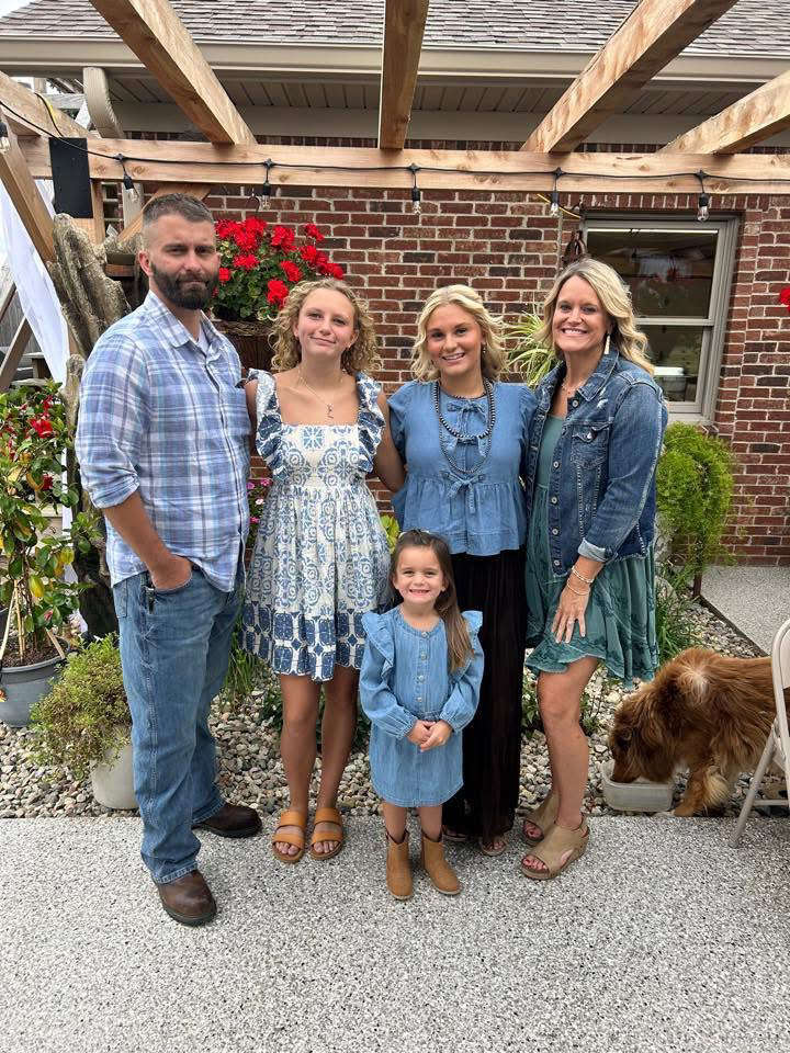 Martin looks to bring experience to Parke County Commissioner District 2 Seat
 Penny-rounding for retailers
 No intentional wrongdoing alleged in crash blamed for death of US Rep. Baird’s wife
 Hoover looks to turn Parke County Commissioner District 2 seat Blue
 Indiana earns top credit rating from major agency
 Fairview Park receives OCRA grant to rehab water system
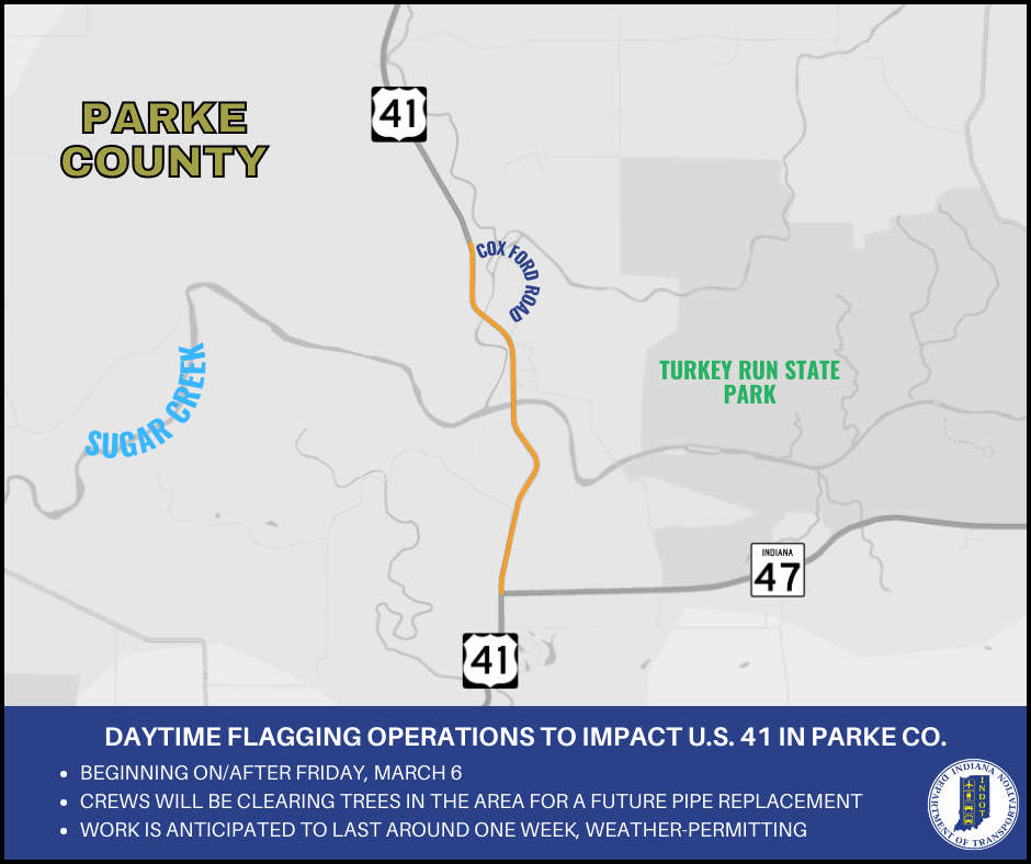 Daytime flagging operations to impact U.S. 41 for tree clearing for a future project
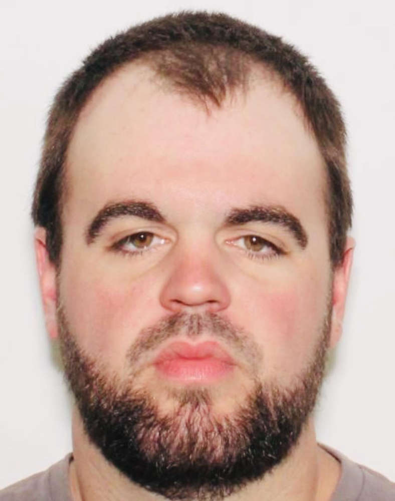 Rosedale man charged with child molesting, soliciting
 Red Cross seeks donations to curb severe blood shortage
 Greencastle - Parke Heritage again, South Putnam vs Southmont on GIANT fm Sports
 Bill to increase access to veterinarians signed into law
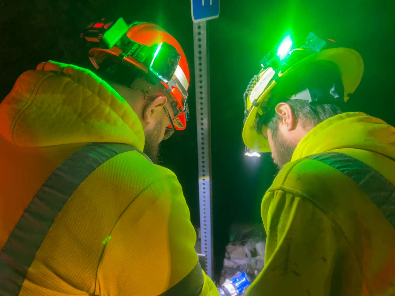 INDOT implements new roadway worker safety initiative: Project Greenlight
 Southwest Parke schools synchronous e-learning on Wednesday
 Chase Edward Bennett, 17, of Hillsdale
 Riverton Parke student-athlete dies in automobile crash
 USDA announces enrollment period for Farmer Bridge Payments