


The Illinois State Water Survey is partnering with the Federal Emergency Management Agency (FEMA) to examine the flood risk along five creeks in Lawrence County.
They are Brushy Creek, Muddy Creek, Shirley Creek, Indian Creek and the Indian Creek tributary.
Survey crews will be operating along those creeks beginning this month of May and continuing throughout the summer. The surveyors will be getting channel and bridge measurements along with topographic elevations and photographs within and around the creek banks to be used in computer models estimating the potential flooding threat.
The study will also be used to improve and update the Flood Insurance Rate Maps (FIRM) for Lawrence County. No property disruptions are anticipated.
 Indiana AG reminds Hoosiers to be alert to signs of human trafficking
 LCMH to host Girls Night Out
 Knox County extends road weight limits
 BFPD announces officer promotions
 Red Cross seeks donations to curb severe blood shortage
 IDPH releases carbon monoxide surveillance report, urges CO detector use
 Knox County Solid Waste looking for new Executive Director
 Lawrence County authorities make three weekend arrests
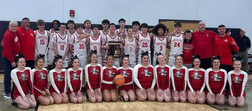 Indians capture regional title
 Knox County Commissioners host public meeting on solar ordinance Sunday
 NWS warns of elevated fire risk
 IECC to hold SPIN nights
 INDOT Knox County bridge replacement project
 Southwestern Indiana situation ends without incident
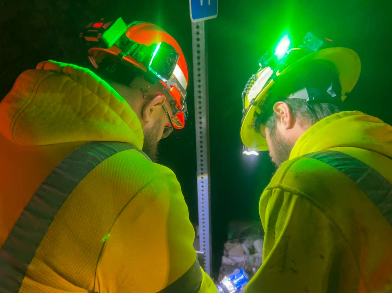 INDOT implements new roadway worker safety initiative: Project Greenlight
 Metz receives ISBE Excel Award
 Good Samaritan Hospital to host annual Wellness Fairs