
The Johnson County Sheriff’s Office is creating a livestock map to protect animals / livestock in the event they escape their enclosure.
The livestock map is a completely voluntary form where you can enter your contact information and types of animals / livestock. This information is only accessible by the Johnson County Sheriff’s Office.
The Johnson County Sheriff’s Office says the livestock map is a simple way to keep your animals/livestock safe and reduce the chances of an accident occurring if they escape.
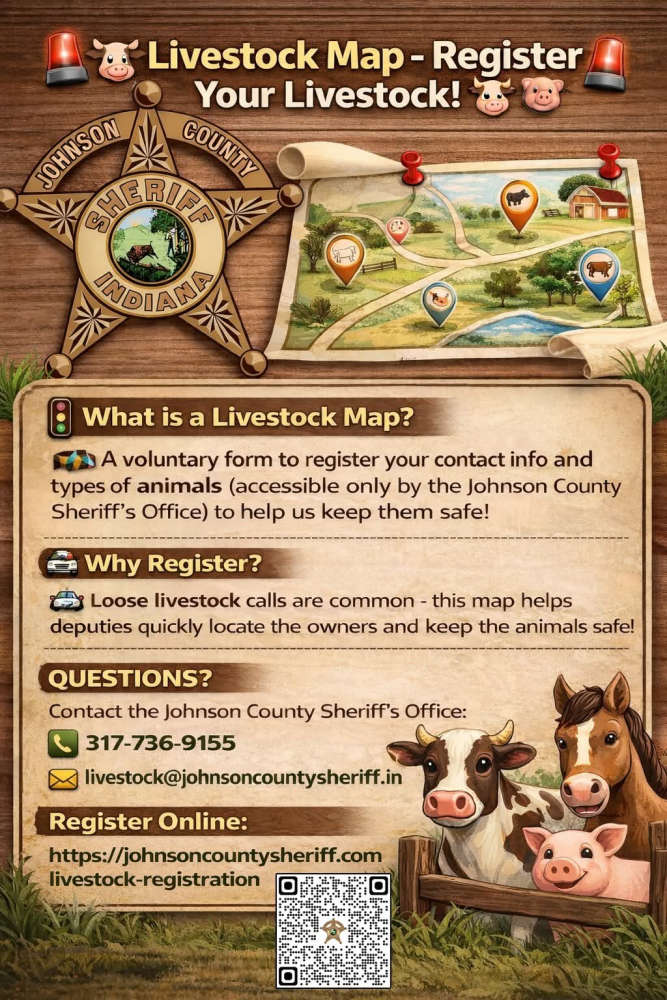
The Sheriff’s Office receives multiple calls a year regarding livestock that have gotten out on county roads. The livestock map would help our deputies locate the owners quickly and keep the animals safe.
Livestock registration link: https://johnsoncountysheriff.com/livestock-registration
You can contact the Johnson County Sheriff’s Office at 317-736-9155 or livestock@johnsoncountysheriff.in.gov
 Rochester schools also received threat that went out to many in Indiana and other states
 School threats being investigated, buildings running normally
 Scam warning from Fulton County Sheriff's Office
 Postal Service recommends 2026 holiday mailing and shipping dates
 Affordable Hearing representatives help bring Indiana support to veterans hearing care bill
 Attorney General Todd Rokita calls on Hoosiers to claim compensation for inflated generic drug prices
 Woodlawn Hospital provides notice of a data event, email investigation