

The Johnson County Sheriff’s Office is creating a livestock map to protect animals / livestock in the event they escape their enclosure.
The livestock map is a completely voluntary form where you can enter your contact information and types of animals / livestock. This information is only accessible by the Johnson County Sheriff’s Office.
The Johnson County Sheriff’s Office says the livestock map is a simple way to keep your animals/livestock safe and reduce the chances of an accident occurring if they escape.
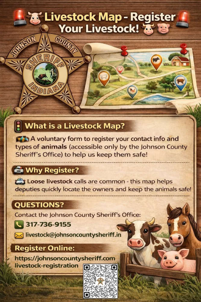
The Sheriff’s Office receives multiple calls a year regarding livestock that have gotten out on county roads. The livestock map would help our deputies locate the owners quickly and keep the animals safe.
Livestock registration link: https://johnsoncountysheriff.com/livestock-registration
You can contact the Johnson County Sheriff’s Office at 317-736-9155 or livestock@johnsoncountysheriff.in.gov
 Final First Friday of the season is slated for Oct. 2
 WIC title on the line when South Putnam hosts Northview Friday night
 BMV urges Hoosiers to complete voter registration by October 5 deadline
 Indiana State Police staging physical fitness tests at Cloverdale HS Thursday - Friday
 Gov. Braun extends gas tax suspension, releases dyed diesel for farms
 St. Paul's Catholic Church is gearing up for Oktoberfest
 Manhattan Short Film Festival runs thru Saturday
 Poland man arrested in State Road 42 road rage incident