
The Johnson County Sheriff’s Office is creating a livestock map to protect animals / livestock in the event they escape their enclosure.
The livestock map is a completely voluntary form where you can enter your contact information and types of animals / livestock. This information is only accessible by the Johnson County Sheriff’s Office.
The Johnson County Sheriff’s Office says the livestock map is a simple way to keep your animals/livestock safe and reduce the chances of an accident occurring if they escape.
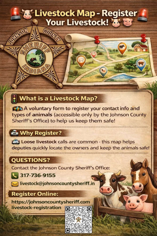
The Sheriff’s Office receives multiple calls a year regarding livestock that have gotten out on county roads. The livestock map would help our deputies locate the owners quickly and keep the animals safe.
Livestock registration link: https://johnsoncountysheriff.com/livestock-registration
You can contact the Johnson County Sheriff’s Office at 317-736-9155 or livestock@johnsoncountysheriff.in.gov
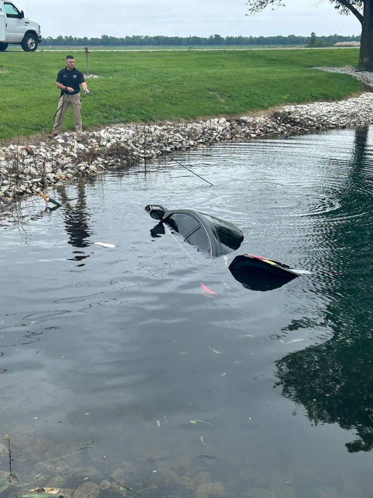 Driver admits to law enforcement that she drove car into a pond
 Lady softball Indians to play for regional title
 Red Hill Unit #10 sets fees and salaries for new school year
 Lawrenceville conducting water customer survey
 State Fire Marshall to investigate Sumner building fire
 Lawrence County raises solar project fee
 Lawrence Unit #20 hires new elementary dean of students
 USPS proposes maintenance, repairs during Mailbox Improvement Week
 Three handed prison terms in Lawrence County
 INDOT Knox County road construction to begin
 Extensive rainfall in region leads to Embarrass River flood warning
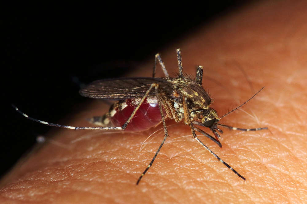 Exposure to animals, biting pests can lead to several illnesses
 Oakland City University releases statement on rumors of closing
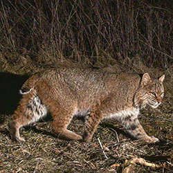 Indiana Natural Resources Commission to hold public hearing for bobcat rule changes
 Illinois State Museum Route 66 exhibit to open May 23
 May 15 is National Peace Officers Memorial Day