

The Johnson County Sheriff’s Office is creating a livestock map to protect animals / livestock in the event they escape their enclosure.
The livestock map is a completely voluntary form where you can enter your contact information and types of animals / livestock. This information is only accessible by the Johnson County Sheriff’s Office.
The Johnson County Sheriff’s Office says the livestock map is a simple way to keep your animals/livestock safe and reduce the chances of an accident occurring if they escape.
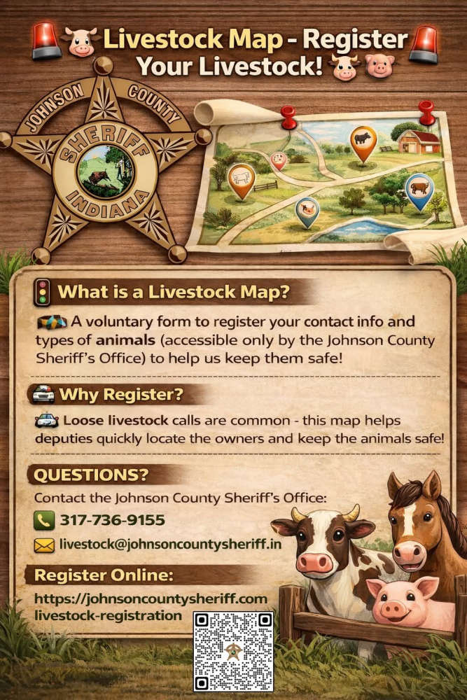
The Sheriff’s Office receives multiple calls a year regarding livestock that have gotten out on county roads. The livestock map would help our deputies locate the owners quickly and keep the animals safe.
Livestock registration link: https://johnsoncountysheriff.com/livestock-registration
You can contact the Johnson County Sheriff’s Office at 317-736-9155 or livestock@johnsoncountysheriff.in.gov
 Allen County Judge rules on Tamarack Solar's petition for Judicial Review
 Last day to ask your question for Indiana's next Secretary Of State
 Plymouth Board of Public Works approves utility connection MOU for Garden Court Horizons Apartment Complex
 Winchell named to lead Indiana DNR Division of Law Enforcement
 Plymouth High School to welcome more than 2,500 student musicians for ISSMA Marching Band Invitational
 Marshall County Commissioners approve 2027 Community Crossing Matching Grant Paving Projects
 2 arrested after domestic disturbance at Economy Inn leads to drug, firearm charges
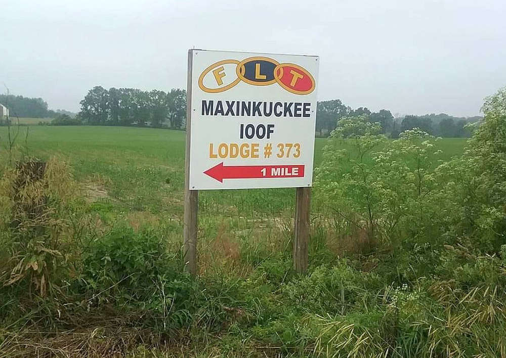 Maxinkuckee Odd Fellows to host all-you-can-eat breakfast Saturday