

The Johnson County Sheriff’s Office is creating a livestock map to protect animals / livestock in the event they escape their enclosure.
The livestock map is a completely voluntary form where you can enter your contact information and types of animals / livestock. This information is only accessible by the Johnson County Sheriff’s Office.
The Johnson County Sheriff’s Office says the livestock map is a simple way to keep your animals/livestock safe and reduce the chances of an accident occurring if they escape.
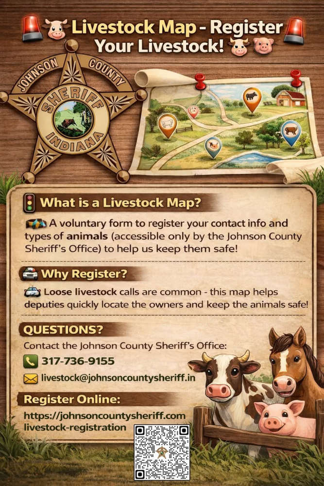
The Sheriff’s Office receives multiple calls a year regarding livestock that have gotten out on county roads. The livestock map would help our deputies locate the owners quickly and keep the animals safe.
Livestock registration link: https://johnsoncountysheriff.com/livestock-registration
You can contact the Johnson County Sheriff’s Office at 317-736-9155 or livestock@johnsoncountysheriff.in.gov
 Multi-agency human trafficking operation conducted in Northern Indiana
 Gov. Braun continues to deliver on promise to keep local governments whole during gas tax holiday
 Indiana Farm Bureau Insurance announces 2027 summer internship program
 Rotors Over Mentone is this Saturday
 Read your FEMA letter carefully
 BMV branches closed for Labor Day weekend
 Governor Braun delivers another month of gas savings for Hoosier families