

The Johnson County Sheriff’s Office is creating a livestock map to protect animals / livestock in the event they escape their enclosure.
The livestock map is a completely voluntary form where you can enter your contact information and types of animals / livestock. This information is only accessible by the Johnson County Sheriff’s Office.
The Johnson County Sheriff’s Office says the livestock map is a simple way to keep your animals/livestock safe and reduce the chances of an accident occurring if they escape.
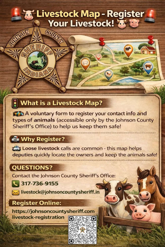
The Sheriff’s Office receives multiple calls a year regarding livestock that have gotten out on county roads. The livestock map would help our deputies locate the owners quickly and keep the animals safe.
Livestock registration link: https://johnsoncountysheriff.com/livestock-registration
You can contact the Johnson County Sheriff’s Office at 317-736-9155 or livestock@johnsoncountysheriff.in.gov
 City of Shelbyville receives federal funding for dual utility study
 BRCF puts GIFT IX funding into action to address community health priorities
 United Way of Central Indiana launches statewide health plan to strengthen human services nonprofits
 Shelbyville Common Council approves stricter ordinance to limit downtown truck traffic
 City of Shelbyville to break ground on $35 million market-rate apartment development
 Indiana Farm Bureau Insurance announces 2027 summer internship program
 Blue River Career Programs honored by Indiana Department of Workforce Development
 Four arrests in Decatur County for human trafficking and child solicitation