

The Johnson County Sheriff’s Office is creating a livestock map to protect animals / livestock in the event they escape their enclosure.
The livestock map is a completely voluntary form where you can enter your contact information and types of animals / livestock. This information is only accessible by the Johnson County Sheriff’s Office.
The Johnson County Sheriff’s Office says the livestock map is a simple way to keep your animals/livestock safe and reduce the chances of an accident occurring if they escape.
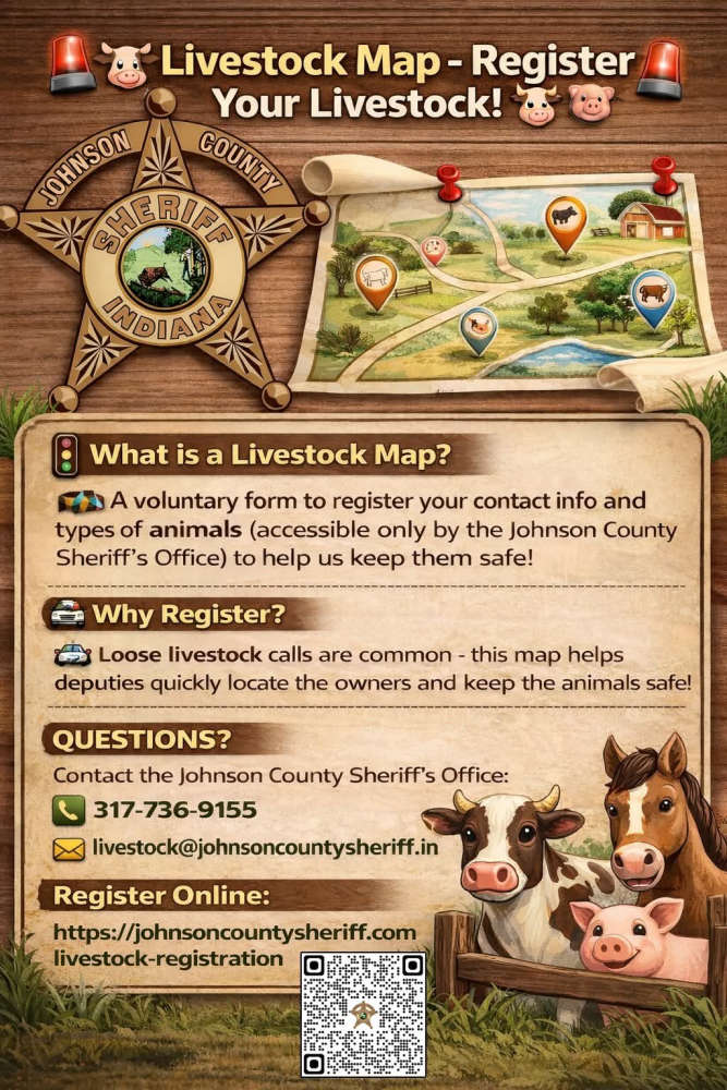
The Sheriff’s Office receives multiple calls a year regarding livestock that have gotten out on county roads. The livestock map would help our deputies locate the owners quickly and keep the animals safe.
Livestock registration link: https://johnsoncountysheriff.com/livestock-registration
You can contact the Johnson County Sheriff’s Office at 317-736-9155 or livestock@johnsoncountysheriff.in.gov
 SW Parke projected to save over a million dollars closing Montezuma Elementary
 Changes coming to South Vermillion School Corporation's cell phone policy
 Domestic incident results in arrest in Parke County
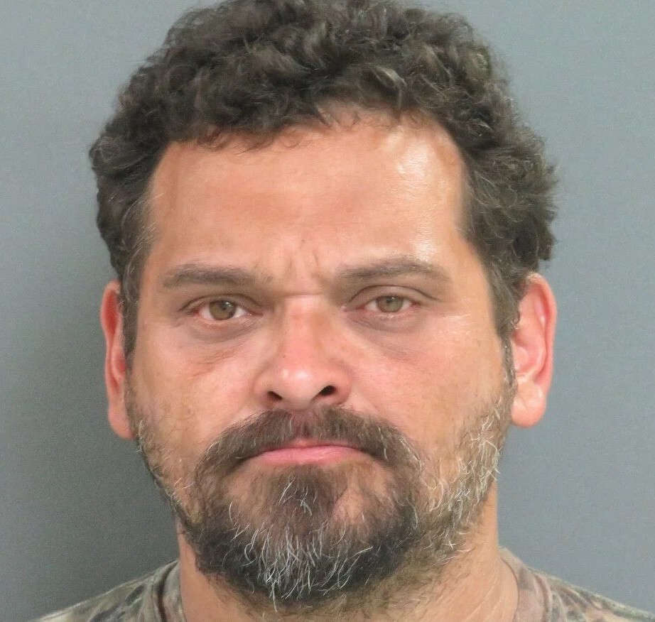
 Crawfordsville man faces list of felony child sex charges
 Domestic incident results in arrest in Parke County
 Clinton man nabbed in burglary case
 Indiana releases update to the State Nutrient Reduction Strategy
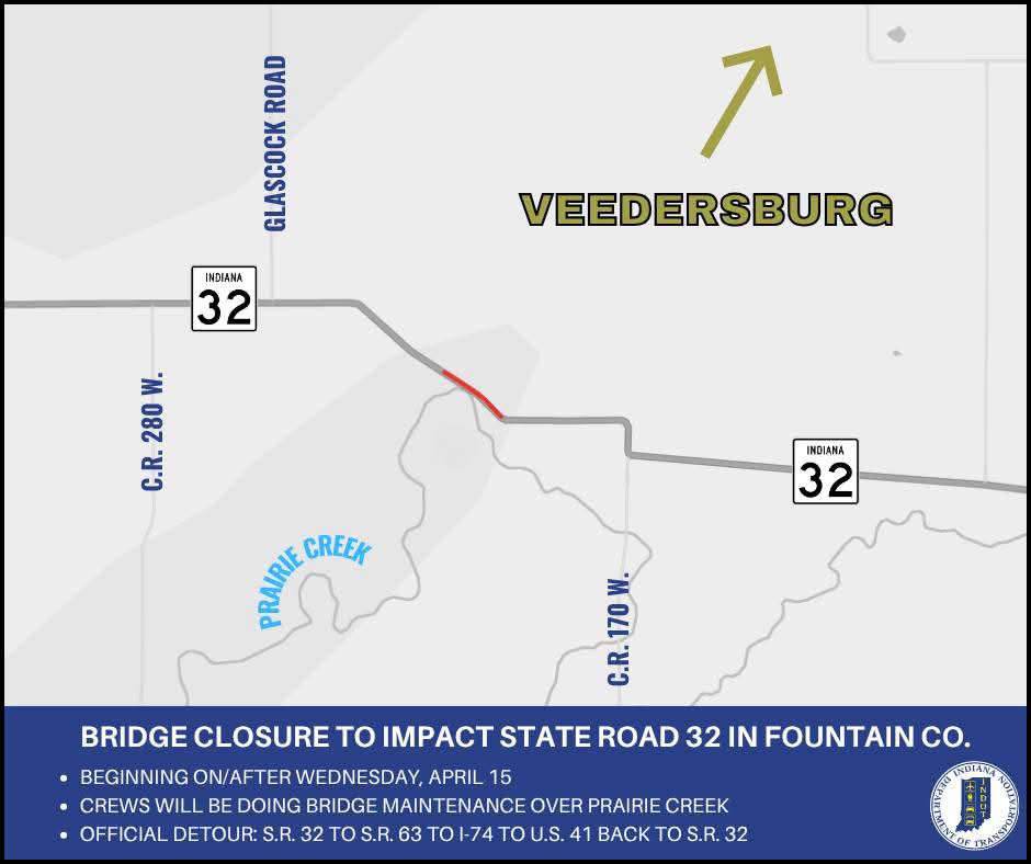 Bridge closure to impact State Road 32 over Prairie Creek in Fountain County
 13 members of armed drug trafficking and dog fighting ring sentenced
 Food sport’s biggest stage will be at Indiana State Fairgrounds & Event Center
 Education Union for ISTA staff files unfair labor charges
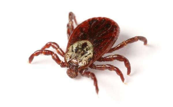 People urged to take precautions against tick-borne disease as risk increases with warmer weather
 Hoosiers may qualify for free well water testing
 FBI joins search for missing Owen County woman